U.S. flag

An official website of the United States government

Official websites use .gov
A .gov website belongs to an official government organization in the United States.

Secure .gov websites use HTTPS
A lock ( ) or https:// means you’ve safely connected to the .gov website. Share sensitive information only on official, secure websites.

City Maps

May be slow loading, LARGE FILES.

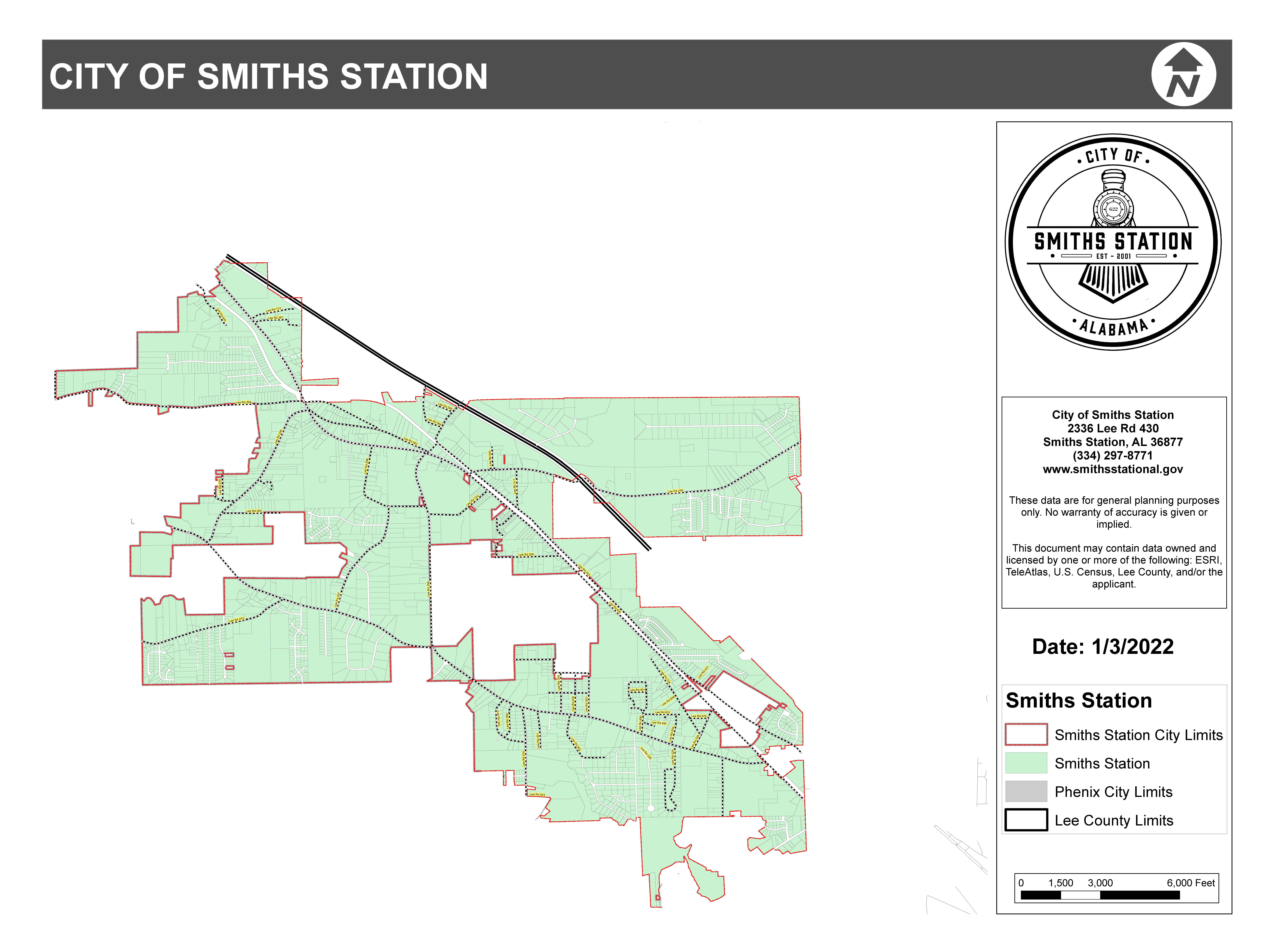
City of Smiths Station boundary map

City of Smiths Station boundary map


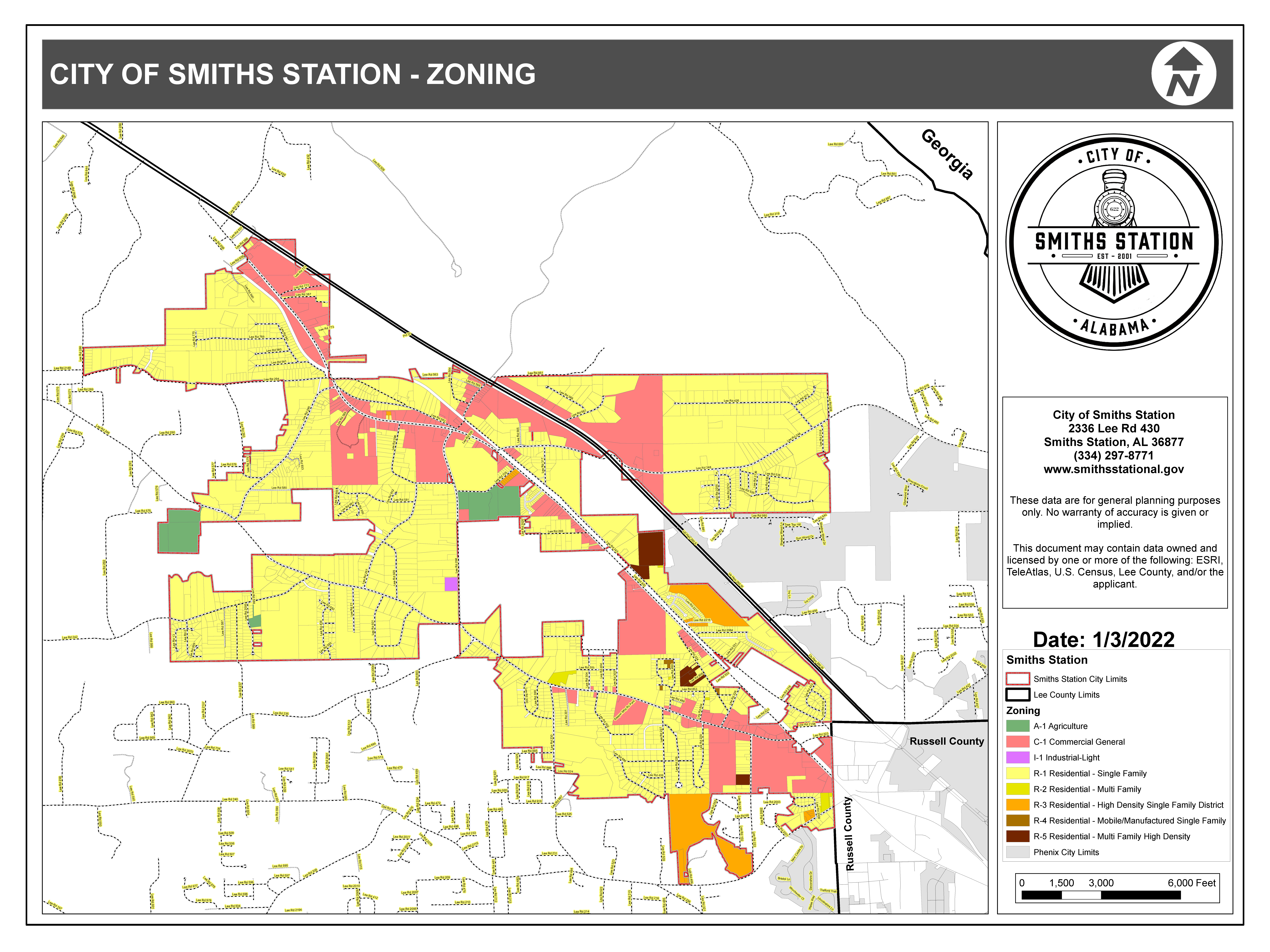
City of Smiths Station Zoning map

City of Smiths Station Zoning map


Map/Delivery issues

We have the capability to update certain Google Map entries, including road names within city limits, house locations, location pins, and various other map-related issues. Please use this form to submit any mapping errors. We will still strive to correct them or collaborate with relevant entities to ensure they are addressed.

Hidden

Next Steps: Sync an Email Add-On

To get the most out of your form, we suggest that you sync this form with an email add-on. To learn more about your email add-on options, visit the following page (https://www.gravityforms.com/the-8-best-email-plugins-for-wordpress-in-2020/). Important: Delete this tip before you publish the form.
Your Name(Required)
Physical Address(Required)
The physical location for the map issue. You can use the city road or the county road.
This field is for validation purposes and should be left unchanged.